Flight of the Bumblebees 2012 - Bob Cunnings NW8L
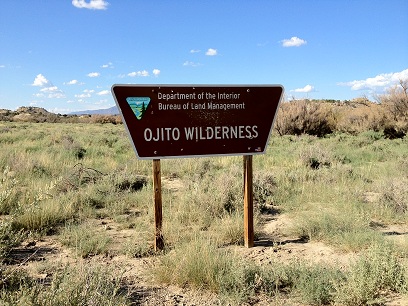
This year I returned to the Ojito Wilderness for FOBB. The location was up on a mesa overlooking the Arroyo Bernalillito area of the Wilderness northwest of Albuquerque, NM, adjacent to Zia Pueblo lands. A narrow promontory juts out northward from the main body of the mesa, with its head standing about 300 feet above the surrounding terrain at an elevation of 6100 feet. This is a great spot for a QRP station if you don't mind the July heat!
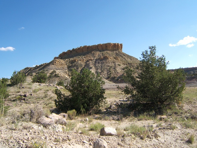
The caprock forms a sheer vertical sandstone wall at the top and the slopes below are steep with a lot of loose and crumbling rock. The best way up is to climb the ridge at the far left and work up to the wall very gradually over the slopes and terraces below. Then the wall can be followed to the entrance point.
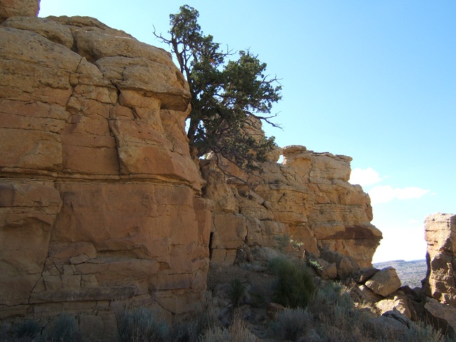
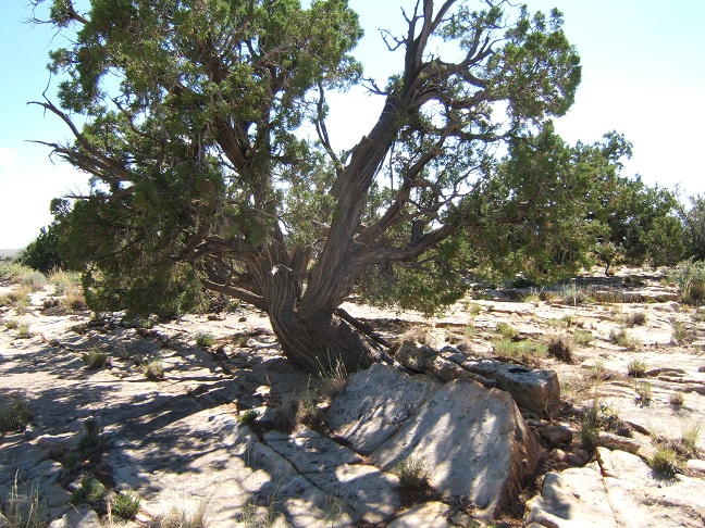
This tree marks a break in the sandstone wall which is one of the few places offering easy access to the top.
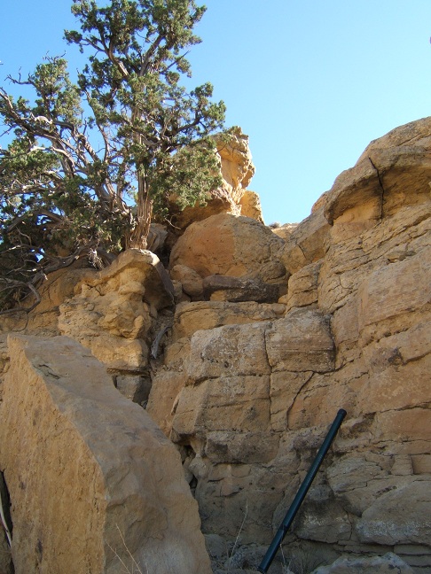
This is the final passage. The tree is perched precariously on a sandstone shelf supported by crumbling mudstone.
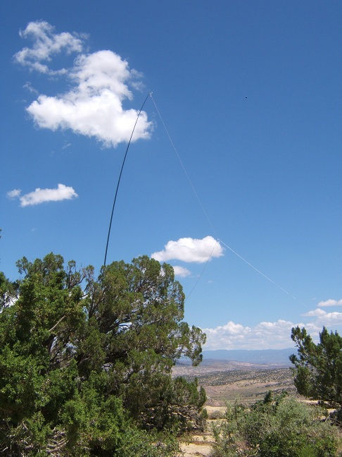
This year the antenna was a 33 foot doublet with a balanced feedline, made from vinyl speaker wire. The antenna was supported by a 32 ft. telescoping fiberglass windsock pole, tied to a juniper tree. It was set up as a "sloper" with the low end tied off to another juniper tree. This was all I needed since I was making a single-band effort on 20 meters. The rig is my trusty Elecraft KX1, with a small self-powered speaker. Power is supplied by 8 AA cells in an external pack. RF output is about 3W on 20 m.
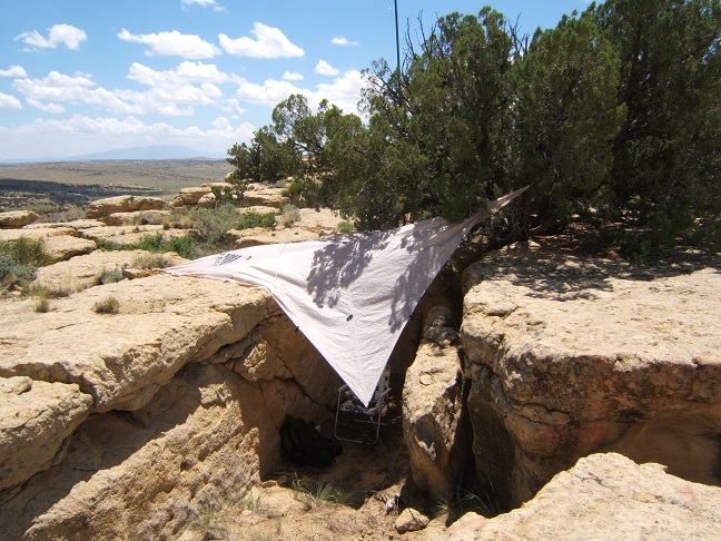
Near the edge the rock is broken up, and I set up the shack in this cleft under the juniper tree holding up the antenna mast, with a "Noah's Tarp" for shade.
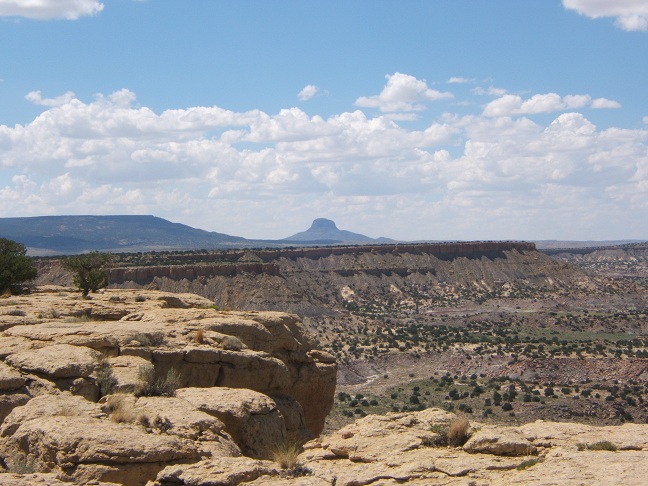
The view to the West, with Cabezon, a volcanic plug, on the horizon.
The view to the North, overlooking the area in the Ojito Wilderness where the dinosaur "Seismosaurus" was excavated. The old track you see leads to the excavation site.
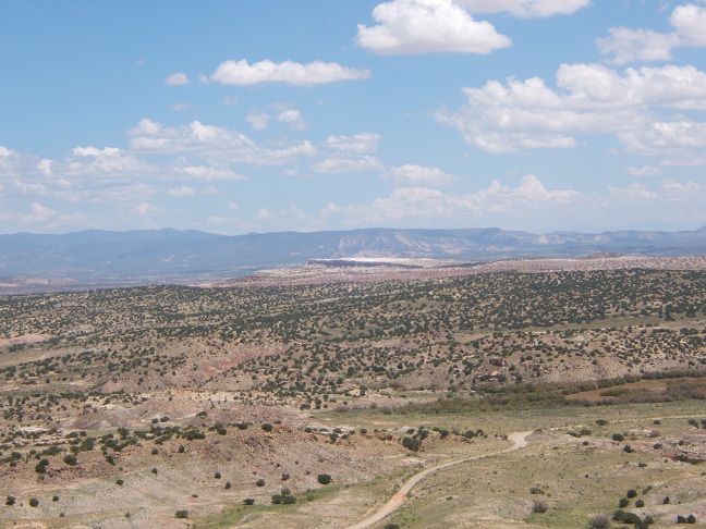
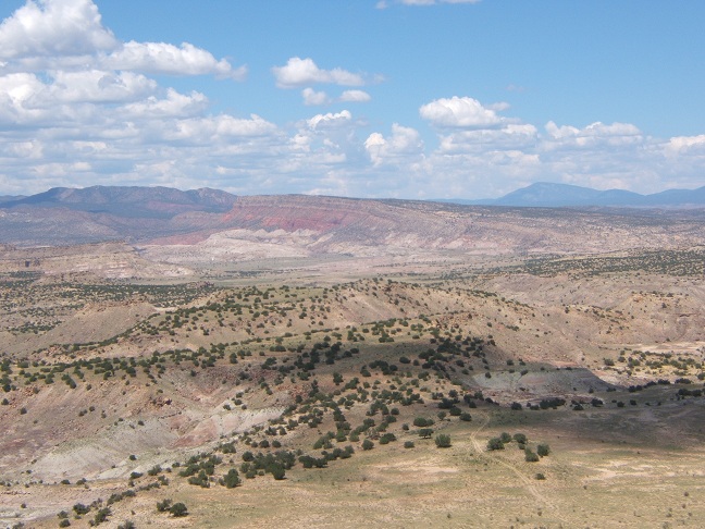
The view to the East looking toward White Mesa, where gypsum is mined to make wallboard.
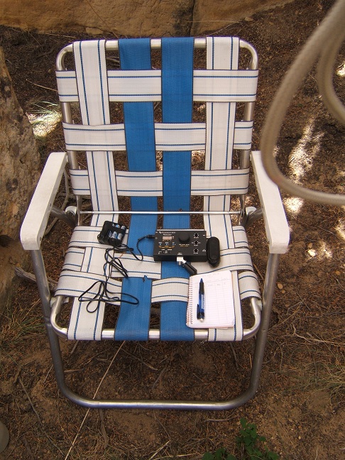
Ready to go. Conditions were variable, with stations fading in and out the whole time. I made 39 QSOs, all on 20 meters. 35 were with fellow BBs, and 4 with home stations. 25 states and provinces were worked: ID, CA, MI, WA, IL, OR, GA, MS, WI, WV, ON, NY, AZ, ND, IN, OH, MO, NM, NE, TX, TN, NC, VA, OK and FL.
Once FOBB was done, I took a few pictures before heading down.
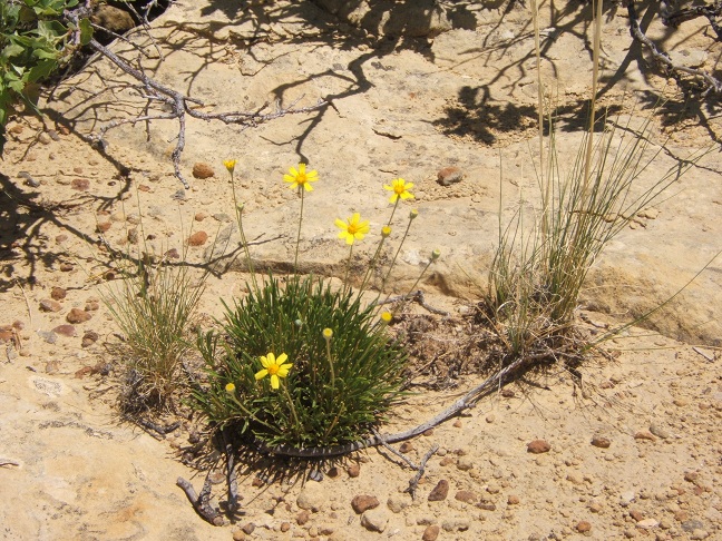
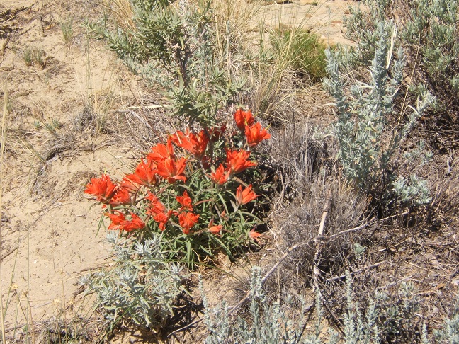
Even though this seems like a tough place to live, wildflowers manage to grow here. It rained quite a bit in these parts in the last 2 weeks so these flowers are blooming.
The juniper trees are pretty gnarled, this one is showing how they help break up the rock with their roots.
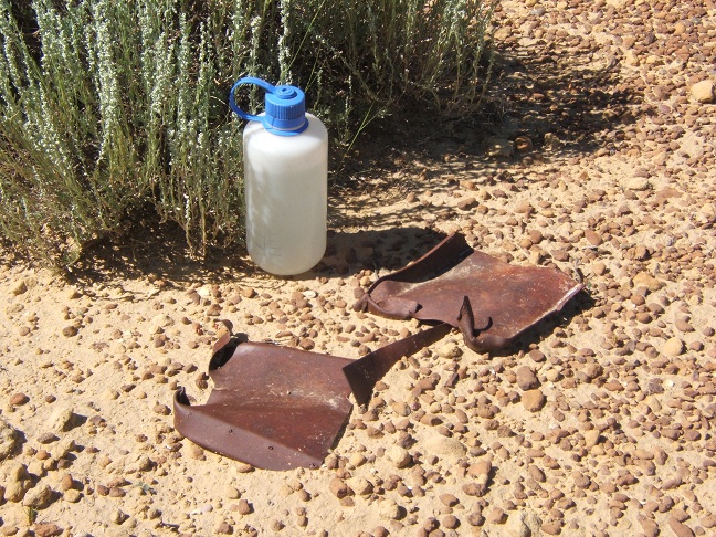
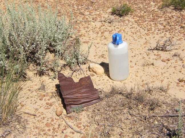
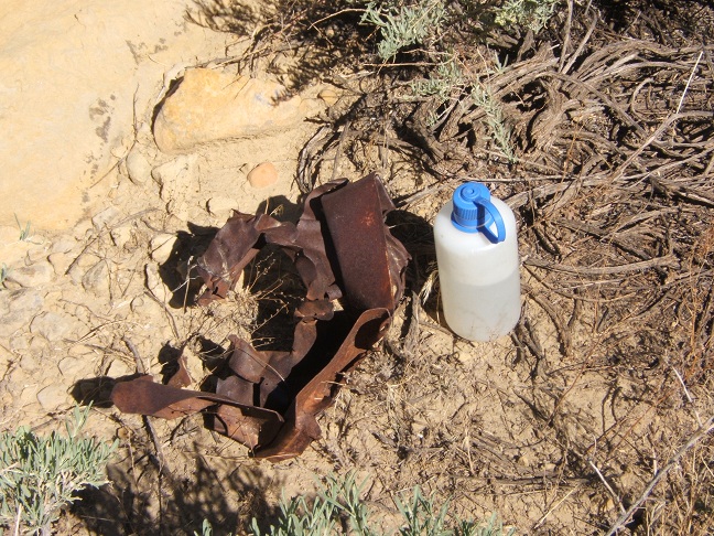
Scattered around on top are old crumpled fragments of heavy iron sheet metal. I've been told that this area was used as a bombing range for the training of B-17 crews flying out of Kirkland Field during WWII, and that these are dummy bomb fragments. I don't know if that is true. If not, it's a mystery, because there seems to be a lot of the stuff out here.
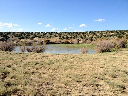
Here is a picture of a stock pond filled by recent rains, east of the Ojito on the way out. I haven't seen this pond filled in years. The last time it I saw it filled it was populated by "desert shrimp", strange crustaceans that lurk deep in the ground during dry times, then emerge when the pond fills. I didn't get close enough to look for them this time.
See you next year!